
Vucity: exploring London
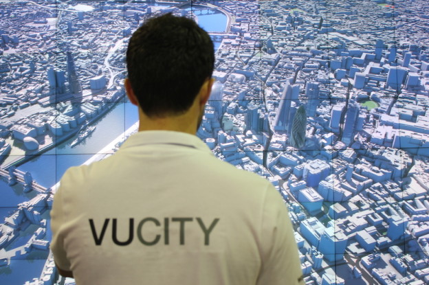
VUCITY is the first ever fully interactive 3D model of London designed for site developers, planners, London boroughs, architects, transport engineers. Live data like transport information, twitter and weather, custom 3D models, database integration and visualisation overlays unlock a new modern experience for infrastructure and development planners.
A special version was developed for MIPIM 2015. Such version involved a Kinect-type sensors and software to track user’s gestures and enable a device free navigation through the 3D model of London in an intuitive and compelling way.
Team
vu.city is developed by VuCity, Wagstaffs Design, GIA
Jason Hawthorne: Director
Paul Oesten-Creasey: Director
Riccardo Stecca: Senior Lead Developer
Matt Felton: Senior Content Curator